
Andrew Galloway visits Merrick via the Culsharg bothy and explores the chain of lochs to the east of the big hill.
Despite the ostensible ancestral connections (my father’s family actually came from the North-East of England), I don’t visit Galloway nearly as much as I should. More often than not the rolling hills of the Southern Uplands are passed in the blink of an eye as I speed along the M74 on my way to big Highland names. More fool me. For, as I was recently reminded, the forests of Dumfries & Galloway have much to offer, not least some rugged wilderness with remarkably low footfall. At 843m, Merrick is the highest point on the mainland south of the Central Belt.
The walk to the summit via the Culsharg bothy makes for a fair challenge, particularly in the winter months. For added spice, I elected to head out from the summit into that wilderness to explore the chain of lochs to the east of the big hill. As the light began to fade and the heavens opened I had cause to question my judgment and was reminded to never underestimate the brutal beauty of the Scottish hills, no matter how far south they may be.
Merrick: route description
Start/Finish: Car Park just to the west of Bruce’s Stone. There is no charge for parking but in busy times it can be busy. | Maps: Ordnance Survey 1:50,000 Landranger nbr 77 Dalmellington & New Galloway | Distance: 15 km (10 miles) | Ascent: 900m | Duration: 6 hours
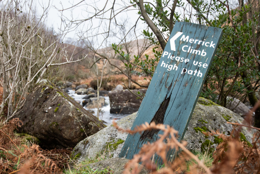
1. NX414802: A finger post indicates the short path to Bruce’s Stone. Take the path N from the stone, passing the information board. At the rough track a finger post shows the path to Merrick.
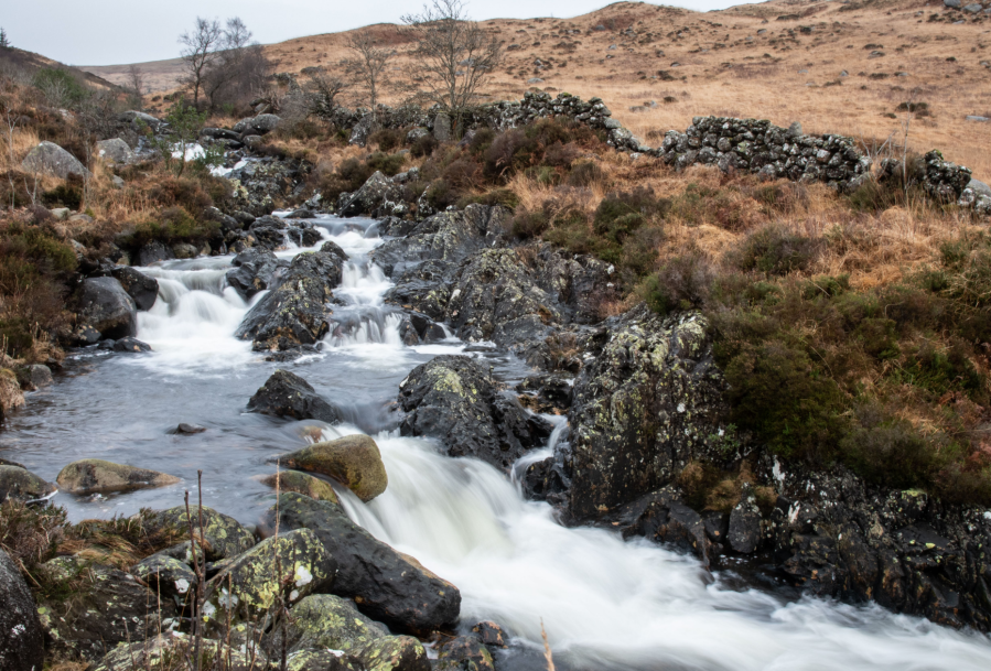
Buchan Waterfall.
Credit: Andrew Galloway
2. NX416804: Follow the path N for 1.8km, passing Buchan Waterfall, to reach the bothy at Culsharg.
3. NX415821: A path at the rear of the bothy leads to a forestry road.
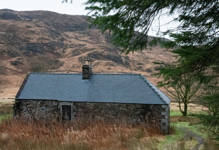
Culsharg bothy.
Credit: Andrew Galloway
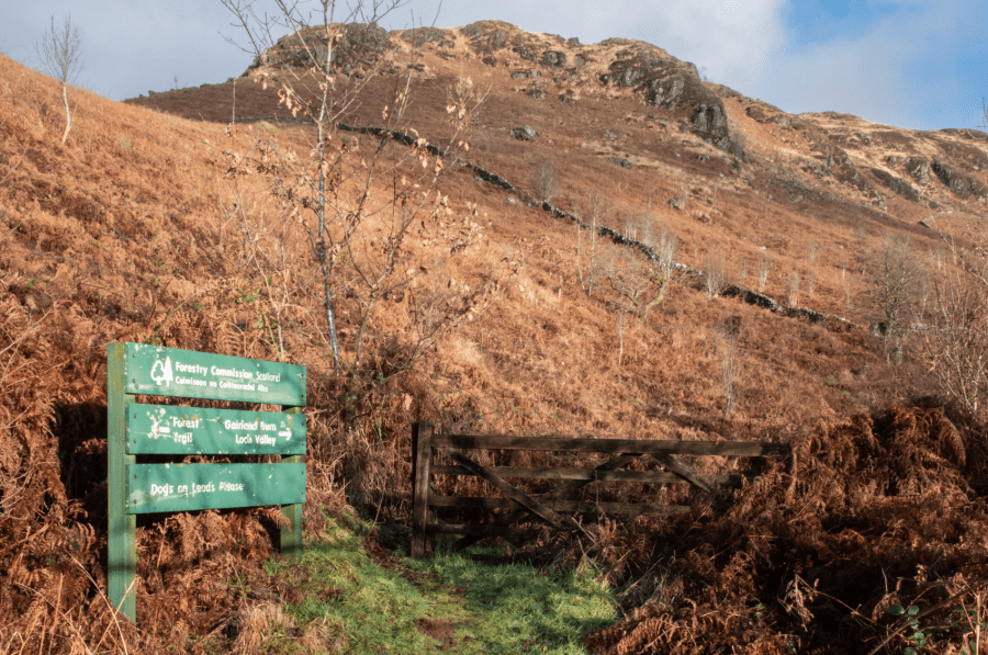
4. NX414822: A tall gate allows access to the forest. Follow the path beside Whiteland Burn, leaving the tree line behind.
5. NX409831: A gate in a fence leads onto open moorland. Follow the path for 1km to the cairn at Benyellary (719m).
6. NX414839: Keeping the wall to your left, cross the saddle of Neive of the Spit then follow the cairn-lined path to the summit of Merrick (843m).
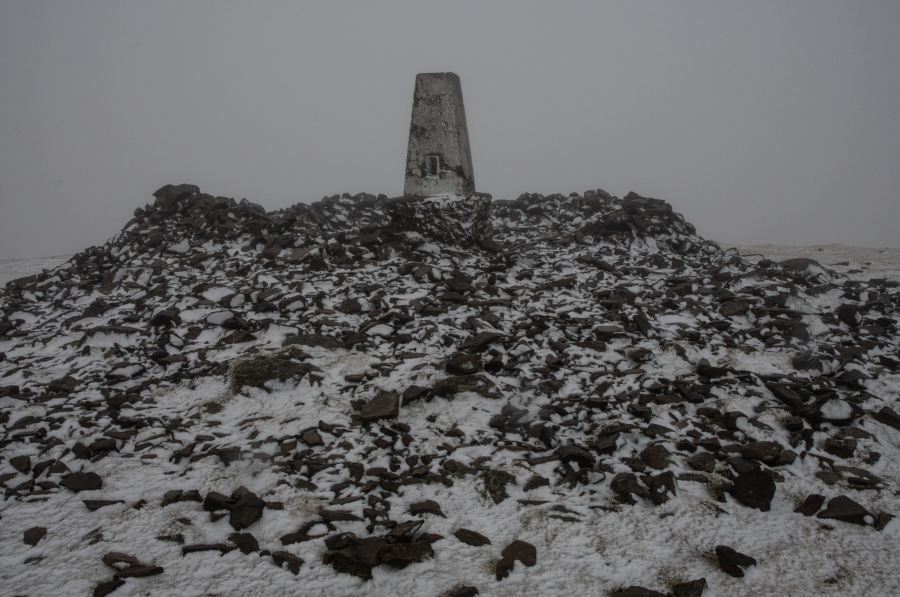
Trig point and cairn, Merrick 843m.
Credit: Andrew Galloway
7. NX427855: Head on a bearing of 120 degrees from the summit, descending the broad shoulder of Redstone Rig for 1.6km to the shores of Loch Enoch.
8. NX440847: I call the next section of the walk ‘link the lochs.’ You’ll see why. Follow the south shore of the loch for 300m to the crags below Craig Neldricken.
9. NX443846: Keeping to the obvious depression, head SSW for 1.8km, passing Loch Arron on the left to reach the pleasantly named ‘Murder Hole’ on the shores of Loch Neldricken.
10. NX438829: Track the shore of the loch for 800m to a sheepfold. The cascade named Mid Burn empties into the fourth loch in the chain, Loch Valley. Follow the western shore for 400m to where Gairland Burn flows out from the loch.
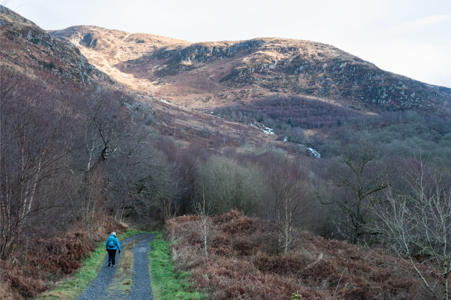
Gairland Burn from Buchan.
Credit: Andrew Galloway
11. NX437818: Do not be tempted to cross the burn, which can be dangerous when in spate. Rather than the path marked on the OS map on the southern side of the burn, take the equally adequate path on the north side, thus avoiding any need to make a white water crossing. Follow the path for 1.6km to where it meets a stone wall overlooking Loch Trool.
Buchan Hill.
Credit: Andrew Galloway
12. NX427807: Continue along the path for 1km as it descends to the gates of the property named Buchan.
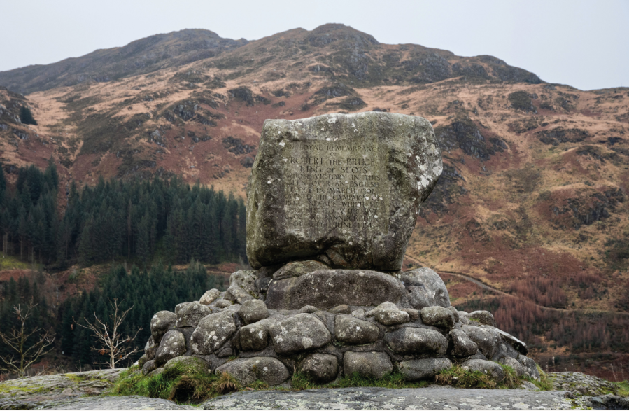
Bruce’s Stone, Loch Trool.
Credit: Andrew Galloway
13. NX418804: Follow the broad track from Buchan, passing Bruce’s Stone to the car park.
Further information
Public Transport: Bus 359 from Newton Stewart to the Glen Trool. Timetable available at www.dumgal.gov.uk/timetables.
Tourist Information: Galloway Forest Park
Discover more walks in Scotland as mapped by The Great Outdoors’ expert contributors.


