
Ian Battersby strolls out at dawn for unwarranted rewards at the northern end of the Helvellyn ridge.
Three ridges coalesce north of Ambleside to form Fairfield, then reach north for many miles, passing vertical crags and rising over 3,000 feet at Helvellyn. From this noble position the miles go on, slowly declining while crags diminish, establishing lofty rounded tops more akin to the Pennine hills. Great Dodd and Clough Head form the final summits. On a misty day you could be conned, but when the cloud flies high the comparison to England’s backbone collapses.
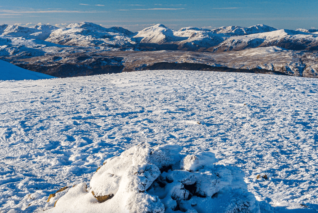
The northern vista is crammed with Blencathra’s beloved sharp ridges and steep corries, and alongside these stand the pyramids of Skiddaw. Swinging west and far, far away a serrated skyline becomes a riot of the old favourites. Distinctive profiles emerge south of Grasmoor and the Derwent Fells: Great Gable, the Scafells and Bow Fell among them, and Helvellyn impresses from the pinnacle of the ridge. So, enjoy this tranquil saunter through the snow, and relish in rewards normally gained by more demanding climbs.
Great Dodd and Clough Head: route description
START/FINISH: Car park at High Row; NY380219 | MAPS: OS Explorer OL5 (1:25k), OS Landranger 90 (1:50k), Harvey British Mountain Map Lake District (1:40k) | DISTANCE: 13.7km / 8.5 miles | ASCENT: 611m / 2,004ft | DURATION: 5.5 hours
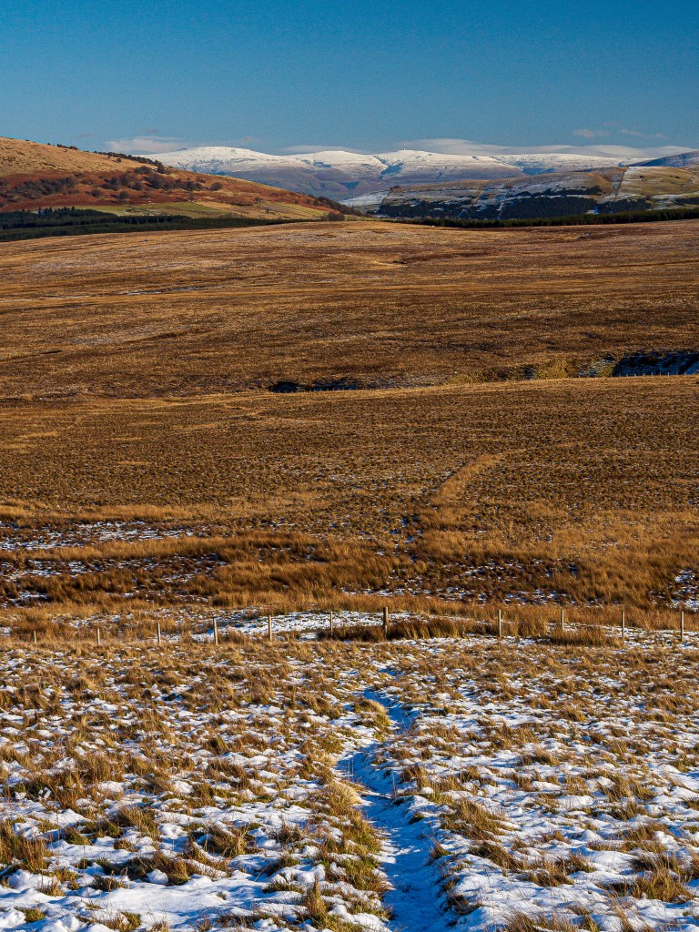
1. NY380219: Head west through the gate into Matterdale Common National Trust land and signposted Old Coach Road to St Johns in the Vale. The track proceeds west north-west alongside the pine trees of Cockley Moor. Beyond the pines after 200m the track turns north and fords the lively Groove Beck, with a footbridge just downstream on the right – useful when the stream is overflowing from sudden flood or iced up in a snap freeze. Just beyond the stream there is a junction with a bridleway hiding in undergrowth, but a new signpost confirms that this is the way to Great Dodd.
Blencathra from Groove Beck at sunrise. Credit: Ian Battersby
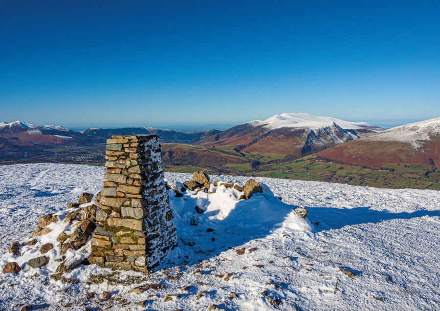
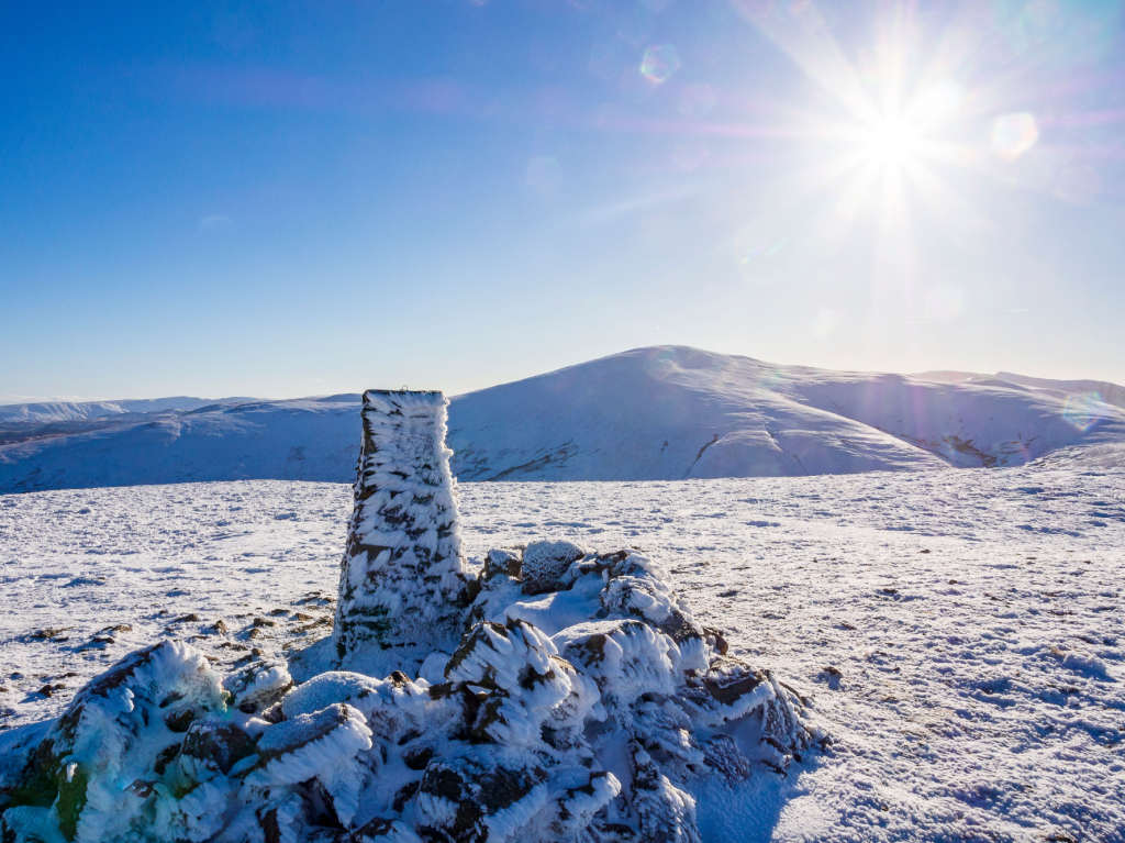
2. NY374222: Follow the bridleway west over moorland covered with golden grasses, keeping north of Groove Beck and climbing gently towards Wolf Crags with Great Dodd arcing into sky 2.5 miles away at the head of the valley. Dome shaped Stybarrow Dodd soon enters the fray to the left of Great Dodd. The ridge levels out at Wolf Crags, allowing a magnificent view over the ridge on the right towards Blencathra and a more distant Skiddaw in the north-west, before climbing the bridleway more steeply over Bruts Moss to Randerside, a rockier section of an otherwise grassy ridge. From here the Grasmoor range also comes into view. The ridge levels out again and narrows a little before a final steep climb, which gradually levels out at the summit cairn on Great Dodd after a false summit or two.
Summit cairn on Great Dodd. Credit: Ian Battersby
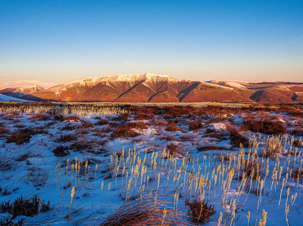
3. NY342206: From the summit cairn head south-east to the summit shelter around 100m away with Helvellyn on display south along the ridge, competing for attention with a Lakeland skyline crowded with distant peaks. Now cut back north-west to regain the bridleway where it drops west south-west to Little Dodd alongside steep slopes that fall into vast expanses of Matterdale Common.
Helvellyn from Great Dodd. Credit: Ian Battersby
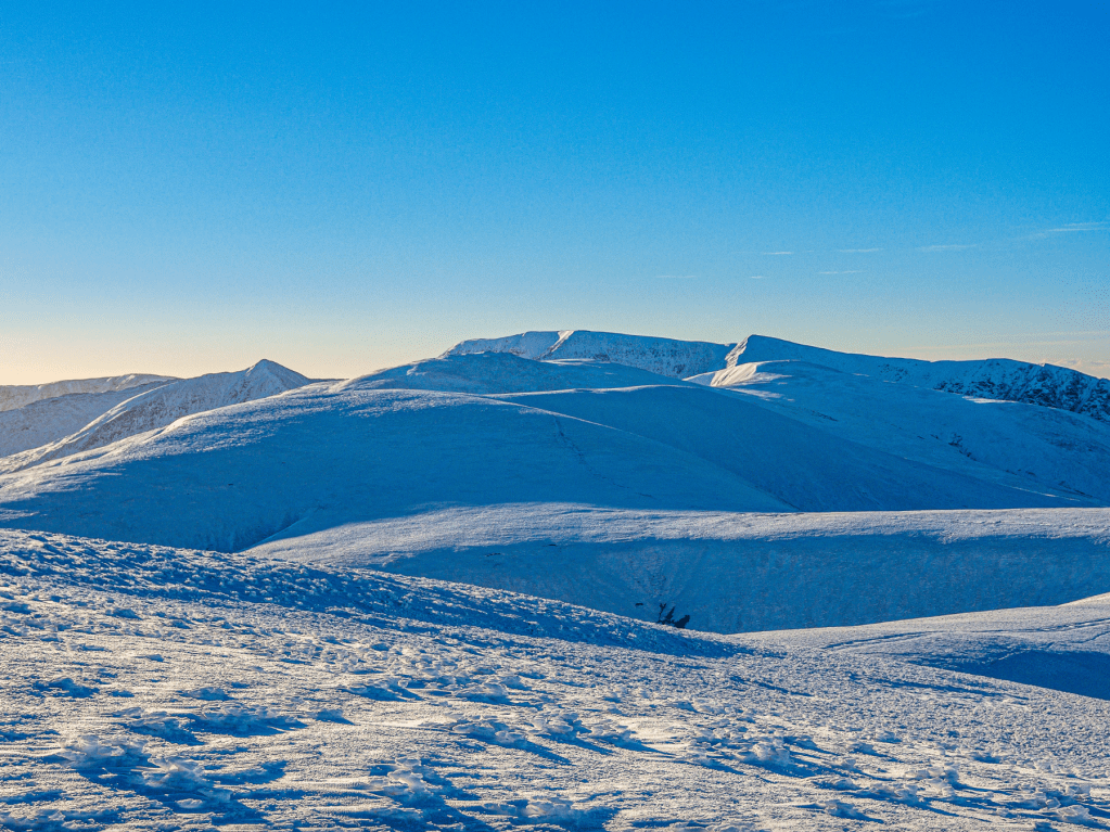
Follow the bridleway north-west to a gate at Calfhow Pike. A path now crosses the col before climbing north north-east to the trig point above red screes at the summit of Clough Head. From this approach Clough Head appears as a broad rounded top, but there is drama on the north-west flank at Red Screes, where it collapses over the screes down to Threlkeld Knotts.
Great Dodd from Clough Head. Credit: Ian Battersby
4. NY334225: Although there is no official right of way there is a good path that follows the ridge north-east across the Open Access Land. This descends alongside the drop to Red Screes to White Pike, and then dips east, passing a hut along the way, to reach a newly built fence at the Old Coach Road. There was no stile here, but just a few meters to the south there was an easy crossing point constructed unofficially with a spare fence post. (If you’d rather avoid the fence crossing an alternative route would be to retrace steps from Clough Head to Calfhow Pike from where a good bridleway drops north-east by the beck, passing Rowantree Fold to meet with the Old Coach Road by Mosedale Beck).
Fence at the Old Coach Road. Credit: Ian Battersby
5. NY348231: Follow the Old Coach Road south-east over Mosedale Beck to a gate. Continue generally east past a substantial sheepfold at Barbary Rigg, then east past the bridleway to Highgate Close to reach a conifer plantation on the left. After the plantation the track turns south arriving at the footbridge at Groove Beck from where the route climbed Great Dodd earlier. Now retrace steps east south-east past the conifers of Cockley Moor to return.
Further information
PUBLIC TRANSPORT: None to start
TOURIST INFORMATION: Keswick, 0845 9010845
Discover more walks in the Lake District as mapped by our expert contributors.


