

Vivienne Crow gazes coast to coast from Broughton Heights and Trahenna Hill in the Southern Uplands.
To stand in the centre of an island and gaze from one coast to another is always uplifting, but when that island is Britain and you’re standing on a stretch that is 160km wide, then that moment is as special as it is rare. So it was when I climbed Broughton Heights in Tweeddale and discovered that, not only could I see the Firth of Forth, the mountains of Arran were also visible on the distant, western horizon. Broughton Heights consists of a series of rounded summits along a spine of high ground, culminating in the trig pillar on Pyked Stane Hill (571m).
Starting from the village of Broughton, this walk approaches the easy-going ridge via a good track beside Hollows Burn, following the waymarked John Buchan Way up into the pretty glen. After heading out and back along the Heights it tackles another group of hills to the south, climbing a steep, heather-clad ridge on to Hammer Head and over Trahenna Hill before crossing open pastureland to drop back to the valley.
Broughton Heights and Trahenna Hill: route description
START/FINISH: Broughton Village Hall car park on northern edge of village, (GR: NT111367) | MAPS: OS Explorer 336 (1:25k), OS Landranger 72 (1:50k) | DISTANCE: 15km/9.3 miles | ASCENT: 718m/2354ft | DURATION: 5-5½ hours
1. NT111367: From the car park, walk north along the A701 for 130m and then turn right along a lane signposted to Broughton Place. Keep to the asphalt until you pass below the house. Now bear left along a rough track leading to a walkers’ car park. Go through the gate and continue in the roughly same direction, climbing gently with a fence on your right. At the top of the first rise, you’re able to look up into the glen, with Hammer Head the most prominent hill. The track drops to cross Hollows Burn. Continuing up the other side, you eventually come to a waymarker beside the second of two benches dedicated to members of the Elliot family.
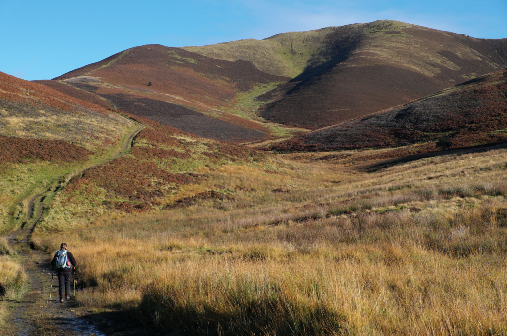
The track climbs through the Hollows Burn glen. Credit: Vivienne Crow
2. NT124392: The John Buchan Way, which we’ve been following up to now, goes right here, but our route goes left, along a grassy path. This swings up to the saddle between Broomy Side and Clover Law, where a fence is crossed. The views north begin opening out now, providing a hint of what’s to come. Turn right, climbing a clear path beside the fence on your right. From the top of Broomy Side, the fence and accompanying path undulate north – up and over Green Law to reach Pyked Stane Hill, the highest point on Broughton Heights.
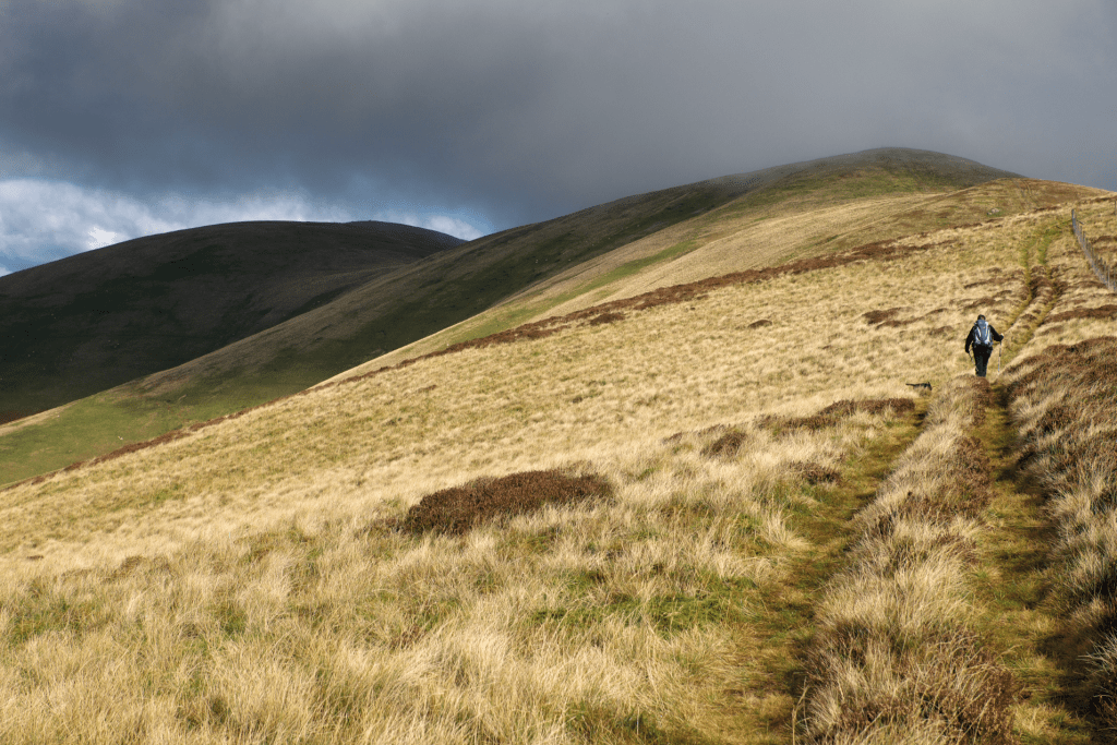
The cloud lowers on to Broughton Heights. Credit: Vivienne Crow
3. NT123411: The view from this summit, close to the northern edge of the Southern Uplands, takes in a broad scope. On a clear day, you can see all the way from Arran in the far west to the East Neuk of Fife and Firth of Forth in the east. From the trig pillar, retrace your steps to the junction at waypoint 2. Turn left here, following the John Buchan Way again, but only for 280m – as far as a gate.
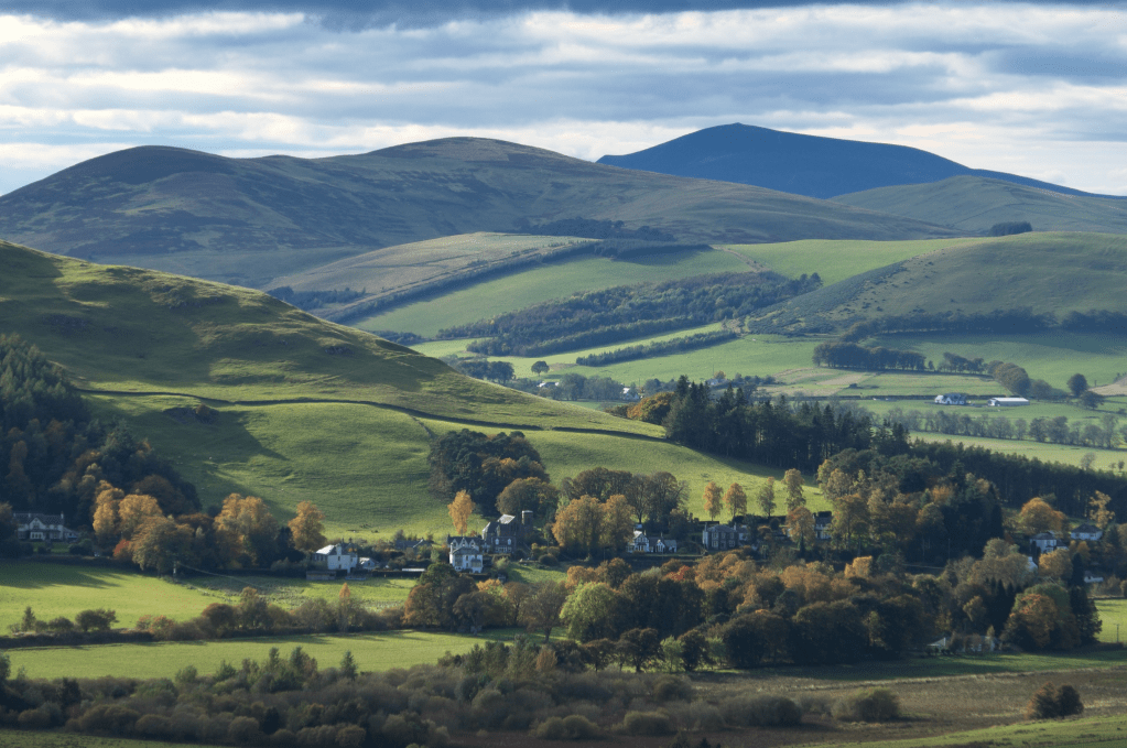
The John Buchan Way heading east through the hills. Credit: Vivienne Crow
4. NT127392: Don’t go through the gate; instead, turn right along a trail climbing beside the fence. Gaining the ridge, bear left with the fence to reach the cairn on Hammer Head. Continue along the clear ridge path, following the fence on your left. It goes up and over Green Lairs before reaching the wet plateau shared by Grey Yade and Trahenna Hill. Ignoring a path to the right through the heather, keep to the main ridge path until you reach a fence junction on the right. Step over the ridge fence to walk south-south-east with the other fence on your left. One more fence has to be surmounted before the final climb of the day – to the top of Trahenna Hill.
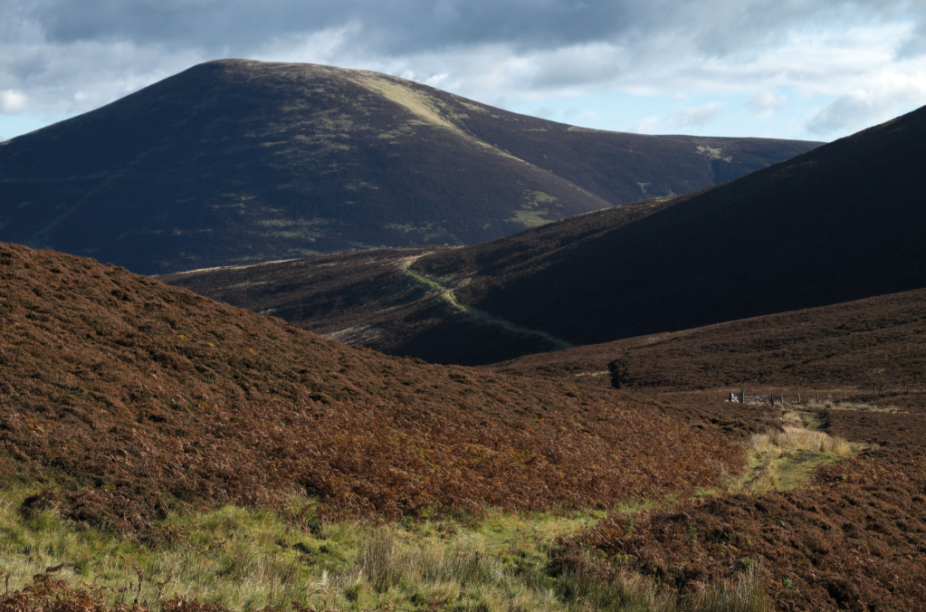
Looking west on the descent from Trahenna Hill. Credit: Vivienne Crow
5. NT136374: From the unmarked summit, descend south. The path is indistinct at first, but you should pick up a trail that later swings south-east. This drops to the western end of a tumbledown wall coming up from the east. (Not the wall running down to the south.)
6. NT137366: On the south side of the wall, you’ll see three paths ahead. Go for the highest one (south-south-west), across the top of this low spur. This drops to a fence corner. Cross and veer left along the broader path leading to a pair of gates. Go through both, following the clear path west, quickly veering south-west. Keep following the line of the fence or wall on the right to a stony track just short of a small conifer copse.
7. NT128356: Turn left, dropping to a lane, along which you turn right. At the T-junction in Broughton, go right and right again into the car park.
Further information
PUBLIC TRANSPORT: Border Buses’ service 91 from Peebles to Biggar (Mon-Sat)
TOURIST INFORMATION: Go Tweed Valley Visitor Information Centre, High Street, Peebles (01721 540546)
Discover more walks in Scotland as mapped by our expert contributors.


