
Vivienne Crow takes in the open and varied moorland of the North Pennines on a walking route up Birkside Fell from Blanchland.
The conservation village of Blanchland sits in a woody hollow just west of Derwent Reservoir. It owes its existence partly to the white-robed Premonstratensian monks who built their abbey here in 1169 and partly to the Bishop of Durham who bought the village in 1708. When he died, it became part of a charitable trust established by his will and, to this day, remains the centrepiece of the estate conserved by that charity.
This is an area loved by walkers for its variety. For those days when the cloud sits low on the hills, there are miles of riverside and woodland paths; on better days, head for the wide, open spaces of Bulbeck Common’s heather moorland. This walk combines the best of both worlds, first heading on to the high ground where it joins an ancient route used in the days when lead was king in the North Pennines. Another old track then eases its way through the valley of Beldon Burn before we join a wooded riverside path for the final kilometre.
Birkside Fell via Blanchland: route description
START/FINISH: Car park on northern edge of Blanchland, GR NY965504 | MAPS: OS Explorer OL43 and 307 (1:25k), OS Landranger 87 (1:50k) | DISTANCE: 14.3km/8.9 miles | ASCENT: 271m/890ft | DURATION: 4 hours
1. NY965504: Turn left out of the car park and, after 130m, take Cote House Farm’s track on the left. Ignoring a track on the left, follow the main lane up between the buildings and straight on. As the walled track ends, turn left through the gate, following a path along a fenced strip. After the next gate, continue along the top edge of two fields.
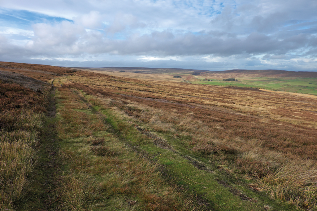
In the valley carved by Beldon Burn. Credit: Vivienne Crow
2. NY955505: Turn right along a surfaced lane, the asphalt ending at a National Grid compound. A few strides short of the compound, bear right along a rough track. Follow this for 70m and then head left to locate a gate to the right of the compound’s wall. Once through this, the bridleway bends right – beside another wall. After a gate, the grassy path swings right and then bends left.
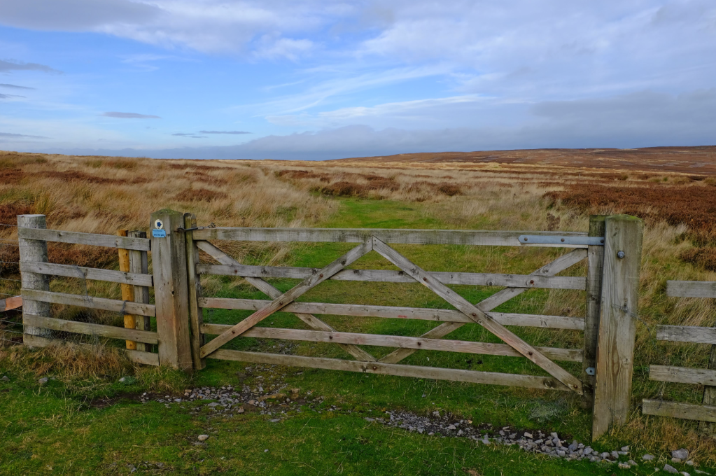
Gate on Birkside Fell. Credit: Vivienne Crow
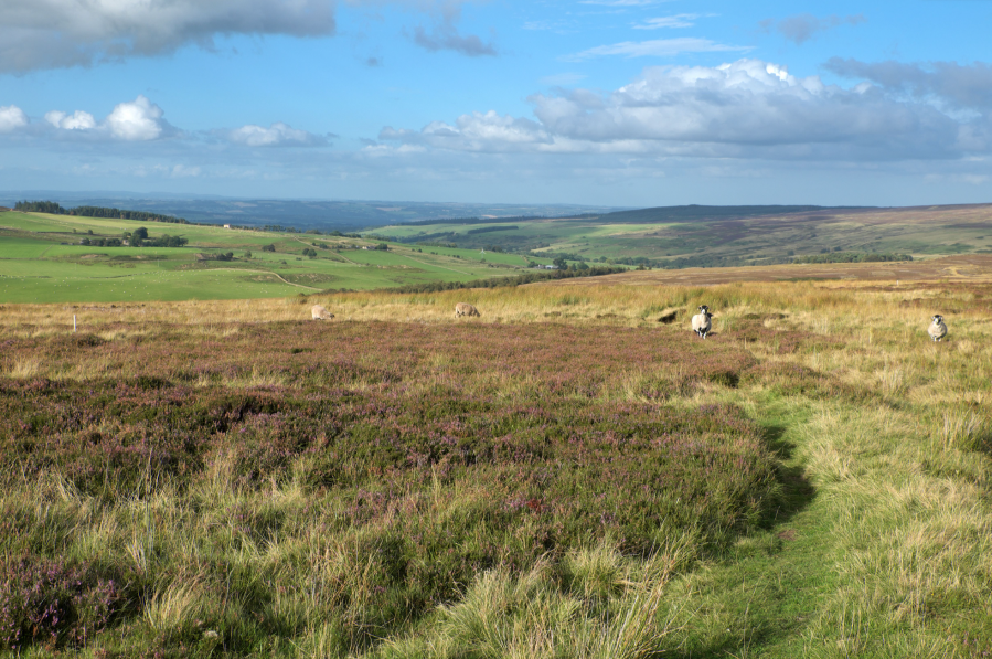
3. NY941513: After the next gate, the way ahead becomes less clear – it heads generally north-west through the heather on Birkside Fell.
Turn left along the Carriers’ Way. Credit: Vivienne Crow
4. NY935516: Turn left at a marked T-junction, now following the Carriers’ Way, a packhorse route used in the 18th century to carry smelted lead to the River Tyne for onward transportation. Cross a stile beside a locked gate, pass to the right of a hut and then aim for a gate in a fence just above the hut. Don’t go through; instead turn right along the stony track and then, in 90m, go left along a grassier track. The route becomes less obvious, but the general direction is west-south-west across Hope Fell.
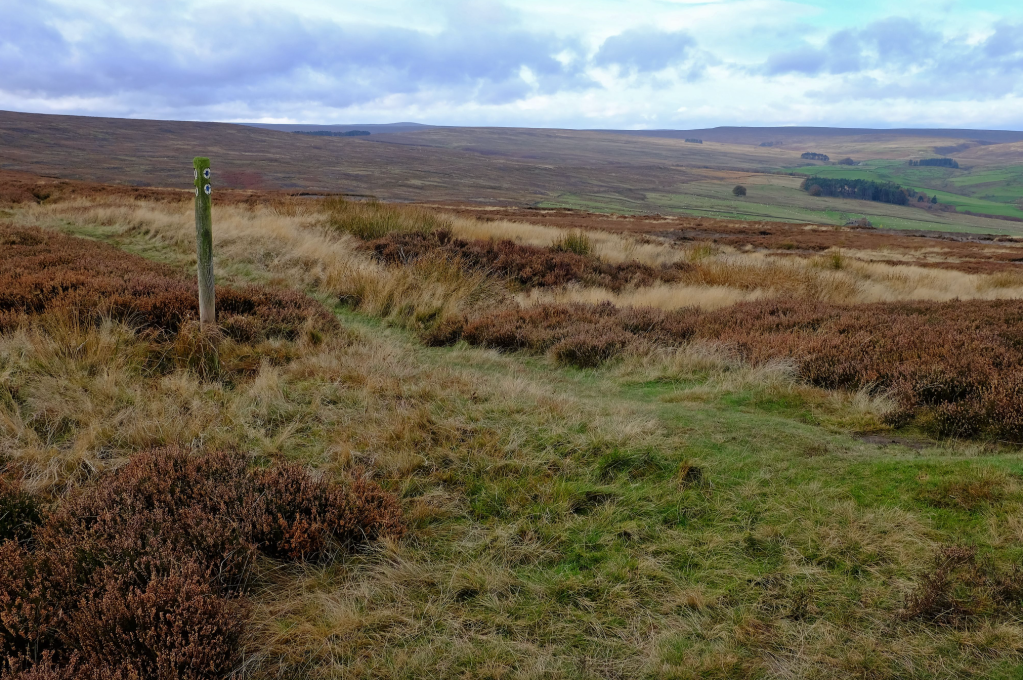
The Carriers’ Way crossing Hope Fell. Credit: Vivienne Crow
5. NY919505: On reaching an area of felled plantation on the northeastern edge of a glacial meltwater channel, turn right – beside the fence. At the plantation corner, keep straight on along the top of the slope dropping into the meltwater channel. The path descends, swinging west, and then heads south-west through the bracken along the edge of the flat, damp ground.
The edge of the felled plantation. Credit: Vivienne Crow
6. NY914504: Watch for a stile on the left. Cross this and pass to the right of a neat, round sheepfold. The path, obscured by bracken in summer, heads diagonally up the slope to the right. At the crest of the rise, cross the top of an eroded gully to continue in roughly the same direction (west-south-west, veering south-west) on a narrow trail through the heather.
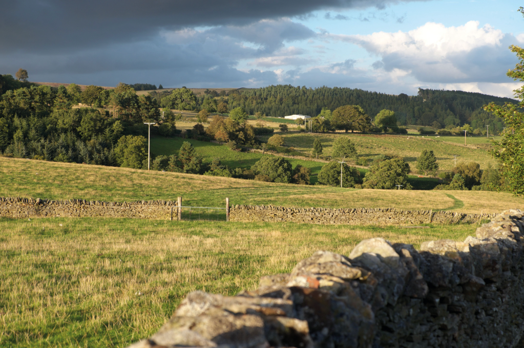
On the return to Blanchland. Credit: Vivienne Crow
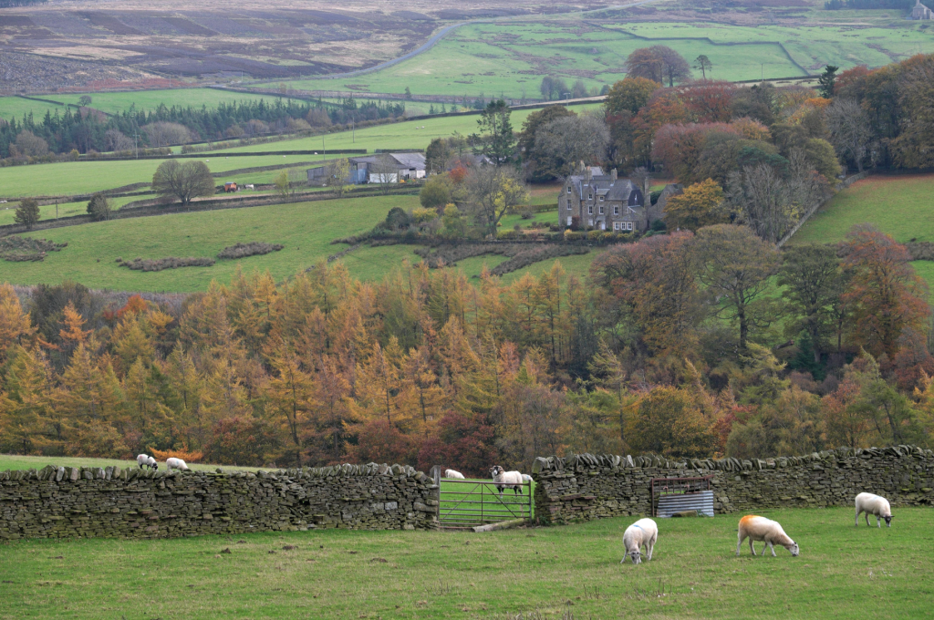
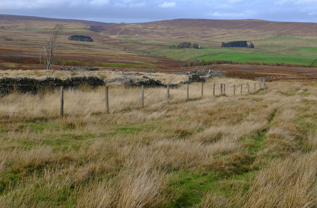
7. NY908501: Cross a stile in a fence and turn left along a stony track. When the clearest track bends right, keep left to go through a gate. The indistinct track soon swings left, running parallel with Beldon Burn down to the right. It quickly passes to the left of the abandoned buildings at Riddlehamhope, including the crumbling walls of a bastle house. Later, it passes the buildings at Newbiggin and bends left, soon joining a surfaced lane. At a road junction, turn right.
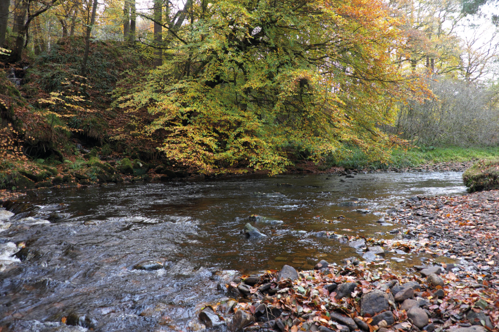
Riverside route in autumn. Credit: Vivienne Crow
8. NY958499: Just before the road crosses Beldon Burn, take the path on the left. Before long, you’re on a riverside route passing in and out of the trees as it makes its way downstream. On the edge of Blanchland, the path crosses a tributary bridge, heads diagonally left across a grassy area and goes through a wall gap. A few steps to the right and you’re on the B6306. Turn left to walk through the village. A junction is reached just after The Gatehouse. Take the lane straight ahead, passing to the left of the tearoom. The car park is on the left 130m beyond the junction.
Further information
PUBLIC TRANSPORT: Weardale Motor Services’ 773 bus from Consett to Hunstanworth (Mon-Fri only)
TOURIST INFORMATION: www.northpennines.org.uk
Discover more walks in the North of England as mapped by our expert contributors.


