After years advocating for safe digital navigation in the mountains, I came to an uneasy realisation: the part of my brain that could once get me out of trouble using map and compass alone didn’t work quite so well anymore. When the chips were down, I opted for the easy digital default.
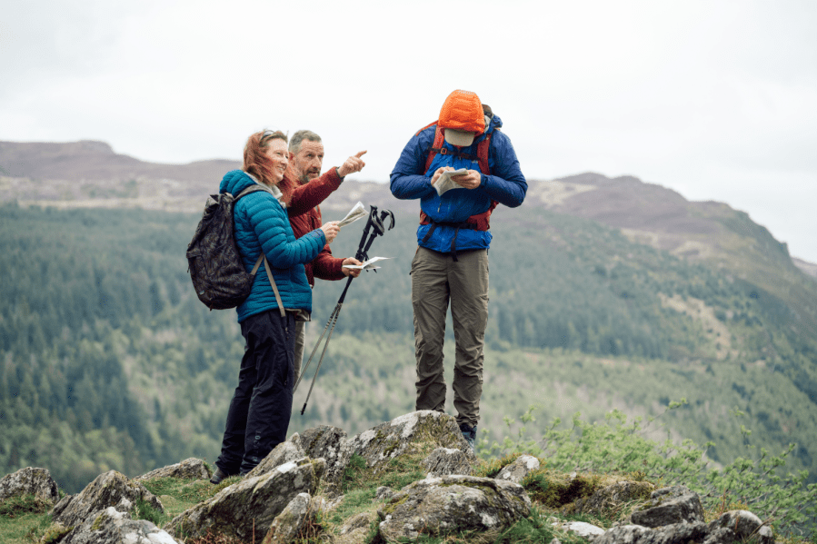
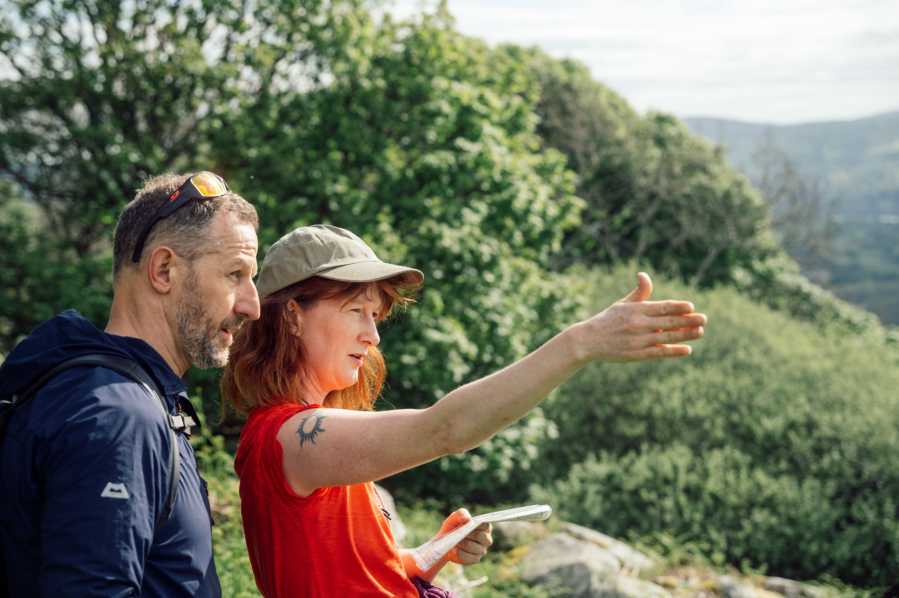
Main image: Martin pointing out distant terrain features | Credit: Alex Roddie
Smartphone-based navigation is safe when used correctly. However, a growing body of evidence demonstrates that learned skills are degraded by automation – and that includes nav apps, no matter how intentionally we use them. We like to think we can remain on top of the tech, but that isn’t backed up by the science. How could I fight the skill fade, break bad navigation habits, and put myself back in the driving seat?
Finding a framework
Through the Austrian Alpine Club (UK) I found out about a series of navigation courses run by Max Adventures in North Wales. These two-day courses take members through the National Navigation Award Scheme, a non-competitive incentive scheme for all ages to learn navigation skills. The Silver Award – which covers ‘navigating in easily accessible open terrain within well-defined boundaries, with a network of linear features and well-defined topography’ – seemed like a good fit for me.
I met local instructor Martin at the Tyn-y-Coed hotel near Capel Curig. Two others joined the course with me: Tammy, an ecologist based on Anglesey with a passion for climbing, and James, a local lad who knew these hills intimately and was working towards his Mountain Leader assessment. James told me he was also an AAC (UK) member and, as a young person, found the club’s subsidised rates for courses a welcome help to the cost of his training.

Martin and I discussed my concerns regarding skill fade. “Apps can be useful,” he said. “The OS Locate app is ideal in emergencies. Maps can blow away. It’s about having a toolbox and keeping the tools well maintained.” What about the big picture? “I’m seeing an increase in people thinking they can have a go [in the mountains] based on what they’ve seen on social media, but lacking the skills. Tuition gives you the confidence to create your own objectives.”
The toolkit
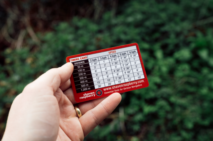
After issuing map printouts of the area we’d be visiting on day one – Martin explained that he favours the OS Maps website for printing maps to scale – we started out with timing a 1.4km leg along the road to the start of our walk. Using a timing card, we estimated we’d tackle the flat paved terrain at about 5kph, arriving at the crossroads in 17 minutes. Martin explained: “The crossroads is a catching feature, because it’s obvious if we go past it.”
“The toolkit,” Martin said, “starts with orienting the map. Look at terrain features first before reaching for the compass.” Orienting the map is a fundamental skill, he explained, without which you won’t get far. We then began a series of basic navigation legs along the Snowdonia Slate Trail. It’s hard to get lost on a path; but without the GPS dot as a crutch, it’s about paying more attention to what’s around you and using tick-off features to keep track of your position.
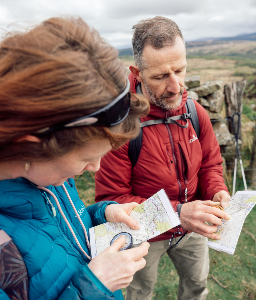
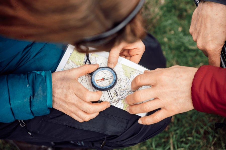
Notably, we had yet to get our compasses out. It wasn’t long before we took a compass refresher, though. At a path junction, we were asked to use a combination of our compasses and terrain features to locate ourselves. Although I had no difficulty remembering how to take a bearing, the refresher was still useful. I even learnt a new mnemonic, ‘red in the shed’, referring to lining up the red needle with the orientation arrow on the compass.
Attention to detail
On that first day we navigated a straightforward loop over Crimpiau, tackling a series of increasingly challenging navigation exercises. Each time, the point was to resolve a simple statement – ‘I’m here and this is why’ – using our observations and tools to justify where we were each time.
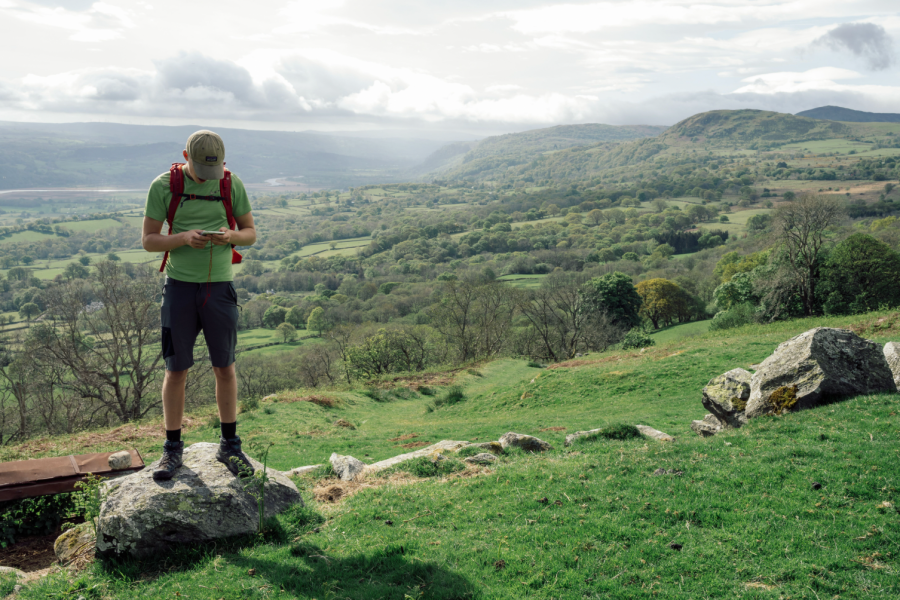
“This is all about detail, isn’t it?” I said to Tammy on the fourth leg, faced with a complex junction of walls and paths. “It’s about paying attention, being 100% present.” Soon after this, from a high vantage point overlooking a valley that seemed featureless at first glance, Martin prompted us to identify as many terrain features as we could. It’s amazing what you notice when you really look – and subtle features such as ring contours and ruins could be matched to the map, helping us locate ourselves.
Other techniques reviewed that day included aiming off, plotting a grid reference, and using a handrail. Martin’s tips were simple but potentially lifesaving: “If in doubt, just move to get a different perspective.”
Putting theory to practice
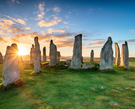
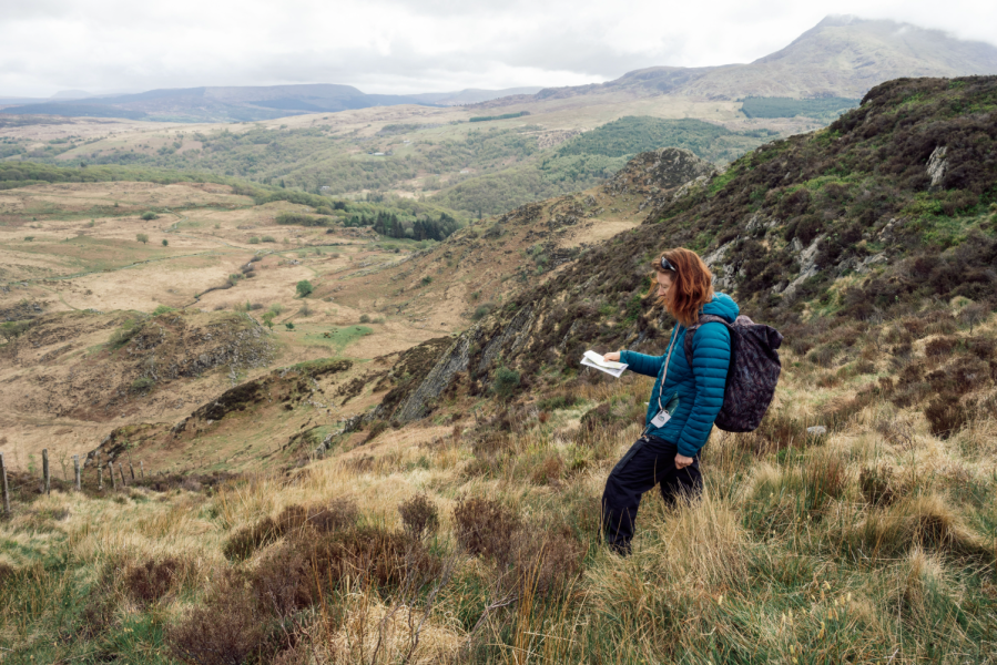
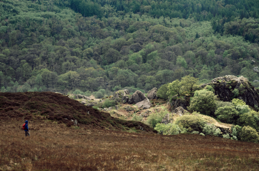
Day two saw us driving up to the northern Carneddau for a more hands-on hill day. The idea was for us to take on a navigation leg each, planning our route to the next waypoint – but the others wouldn’t know where we were aiming, and would then have to locate when they arrived. After climbing through woods to the moorland above, we soon left the paths and were faced with a complex mosaic of heather, bog, dry-stone walls, cairns and standing stones.
My first leg involved finding the point where an invisible right of way crossed a field boundary. I chose to handrail along a boggy stream to a wall before timing a short leg to the target. “Your method was sound,” Martin said when we got there, “but your companions might not thank you for taking the roughest route!”
Tammy’s first leg was longer and more complex, aiming off to a wall and then handrailing along it to an ancient hill fort. When Martin asked her to justify her position, she pointed out a tiny triangular wall feature, barely visible on the map, and Martin congratulated her attention to detail.
The final challenge
After lunch, it was time for our big test. Martin gave us a grid reference, then asked us to switch to 1:50,000 maps in order to focus on the contours, not terrain features. Each of us had to formulate a strategy for reaching the target. Mine was to contour to a stream then follow it uphill, which Martin said would be the most cautious option in bad weather. We ended up using James’s strategy, which was to take a bearing straight to the target – justifiable given the fine conditions. Also, the target was a prominent catching feature (ring contour) that would be impossible to miss.
“You’re done!” Martin said when we all reached this summit with fine views out to sea. “Remember, the important thing is to keep using these skills, as they will fade over time.” But we still had to get down. James led the descent; and on the way we chatted about his connection to this landscape, and how traditional navigation added to the Mountain Leader toolkit.
At random intervals Martin asked us to relocate and justify our position – a handy reminder that attention should always be maintained, even if someone else is navigating.
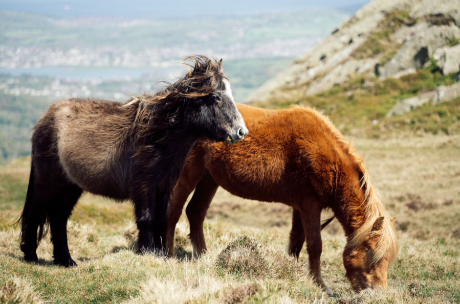
Carneddau ponies joined us for part of the descent, and I wondered what techniques they used for navigating across this beautiful moorland. I’ve been on the hills many times since this course, and I’ve kept using map and compass. My experience is all the richer for it. I’m more aware of my surroundings, more present, and feel the satisfaction of depending less on the indifferent efficiency of tech rather than on my own judgement.
Your basic navigation toolkit
Map and compass
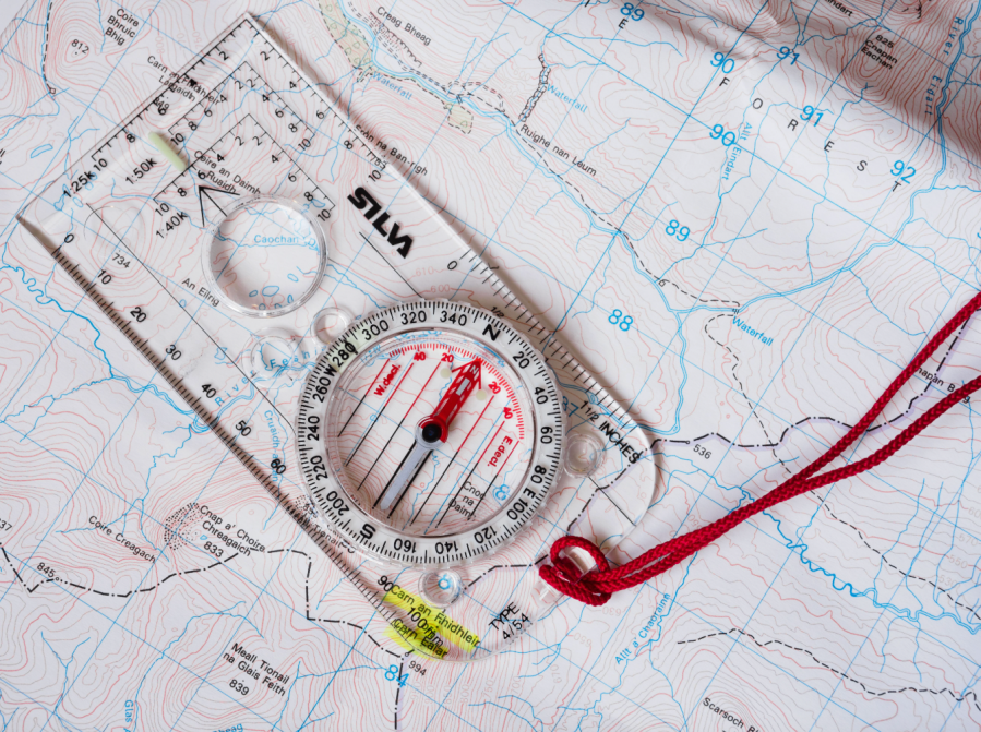
Printable OS mapping (osmaps.com) is ideal because you can tailor it to the area you need. Ensure it’s printed to scale. Laminate or store in a waterproof map case. The compass should have a baseplate and romer scale.
Timing card
Quick reference for walking speeds over different terrain. Setting the map: Use terrain features and/or compass to orient the map before you do anything else.
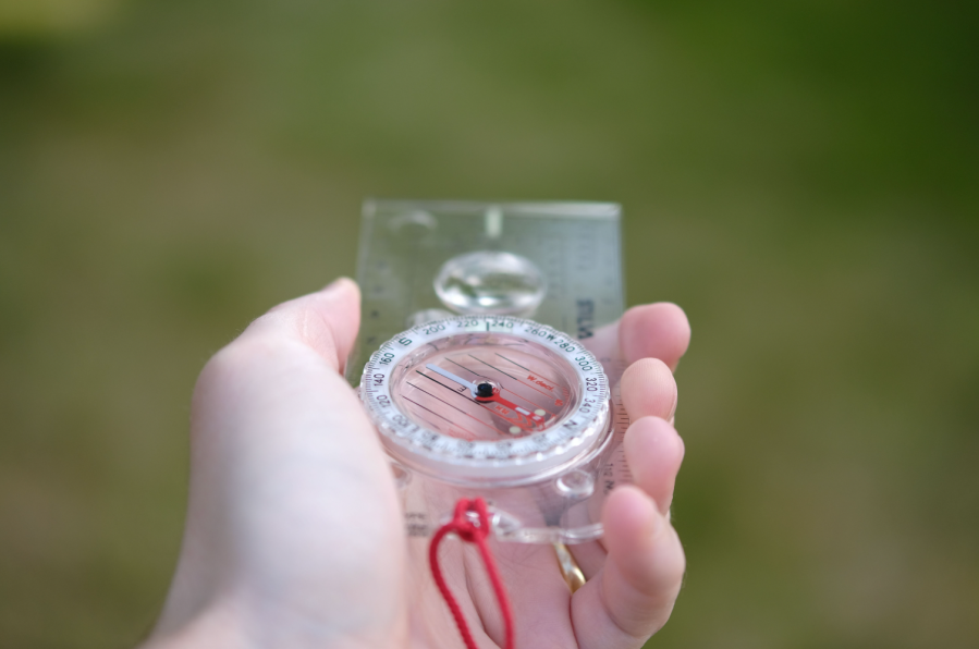
Taking a bearing
If terrain features are indistinct or visibility poor, the compass can be used to set direction. Timing a leg: After choosing a target, judge expected walking speed over the terrain and calculate how long it will take to get there.
Catching feature
A target that is obvious if missed, such as a summit or crossroads.
Tick-off feature
Terrain features you can mentally check off as you pass them.
Handrail
Following a linear feature (wall, stream, fence etc.) to a target.
Aiming off
If the target is midway along a linear feature and might be easy to miss, aim deliberately to one side, then handrail along the feature to target.
Grid reference
Precisely locate yourself on the map using the romer on a baseplate compass.
With thanks to the Austrian Alpine Club UK and Max Adventures. Find out more about the NNAS.