
The best destinations are often the ones that hide in the shadows of noisy neighbours…
Ward’s Stone and Thorn Crag
An alternative to: Yorkshire Dales
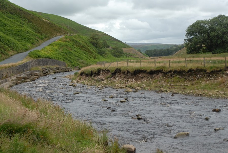
A sense of foreboding accompanies a journey into the Forest of Bowland. Its peaks are often shrouded in mist and the damp valley floor, speckled with woods and scarred by bristling streams, seems dark and mysterious. The lack of visitors and human life only adds to the atmosphere.
The Forest of Bowland Area of Outstanding Natural Beauty lies mostly in a sparsely populated area of Lancashire between Slaidburn and Lancaster. It isn’t as wooded as the name suggests (it was once part of the great Royal hunting forest); much of it is heather moorland and bog, resembling the neighbouring moors of Yorkshire, and no less brooding. The highest point in the Forest of Bowland is Ward’s Stone (561m/1840ft) which, although it has a disappointingly flat summit, makes for a challenging climb. Climbers frequent Thorn Crag on its southern slopes. Nearby Pendle Hill, although not strictly in the Forest of
Bowland, is one of the area’s most popular peaks at 577m/1893ft. Some of the best walking is along the Forest of Bowland’s eastern edge rising up to Clougha Pike, offering panoramic views over Lancaster and towards South Lakeland.
Hubs: Slaidburn, Lancaster, Clitheroe
Tourist infomation: Clitheroe Visitor Information Centre, 01200 425566
Map: Ordnance Survey 1:25,000 Explorer sheet OL41 (Forest of Bowland & Ribblesdale); Harveys
1:25,000 Superwalker, Forest of Bowland
Image by Daniel Neilson


