Dartmoor is rich in archaeological sites, but few corners hold quite as many as White Tor, says Tim Gent.
For a short winter walk, this route certainly packs things in: five Dartmoor tors, prehistoric enclosures, standing stones and a stone circle, medieval tracks and historic tinworks. Even so, White Tor still manages to stand out. On a good day, the views form the tor are extraordinary. Bodmin Moor sits off to the west, a wavy horizon beyond a broad sea of green farmland. Know where to look, and you can pick out Brown Willy, Cornwall’s highest point.
Dartmoor fills the outlook in the other direction: Great Links Tor, Tavy Cleave, Fur and Great Mis Tors, each easy to identify. Look again, and you’ll spot High Wilhays and Hangingstone Hill, the most elevated ground on this moor. Drop your gaze and things remain just as interesting. The spread of stone here represents more than just the tumbled remains of the tor. There are many prehistoric settlements on Dartmoor, but few as old as this.
White Tor: route description
START/FINISH: Free parking on the south side of the B3357 (SX 530 751) | MAPS: OS Explorer OL28 | DISTANCE: 10.5km/6.5 miles | ASCENT: 250m | DURATION: 3-4 hours
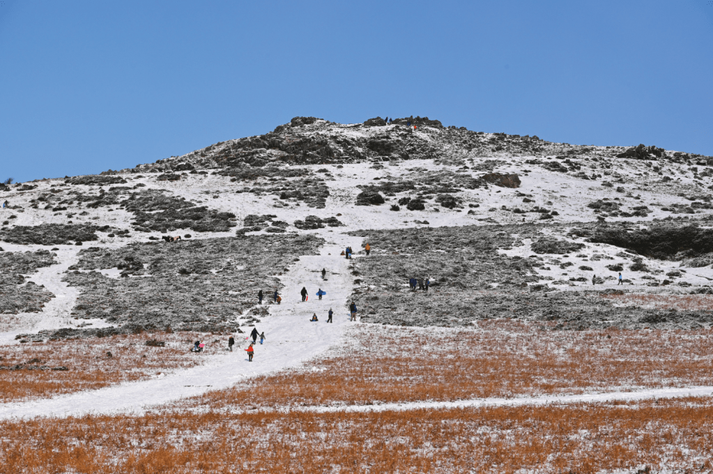
1. SX 530 751: From the spacious car park, cross the road and head north, straight uphill, on a broad path to reach the top of Cox Tor. In snowy weather this slope is a popular toboggan run.
Cox Tor in winter. Credit: Tim Gent
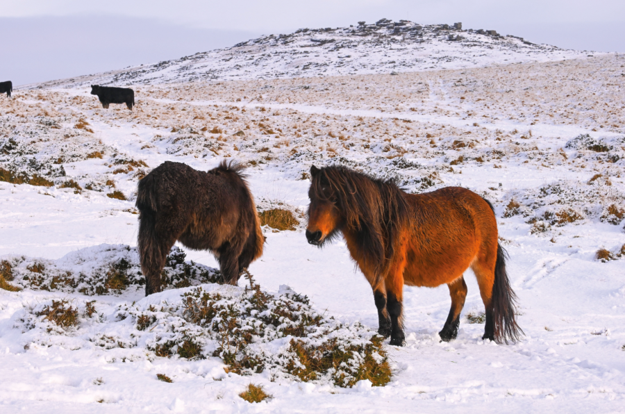
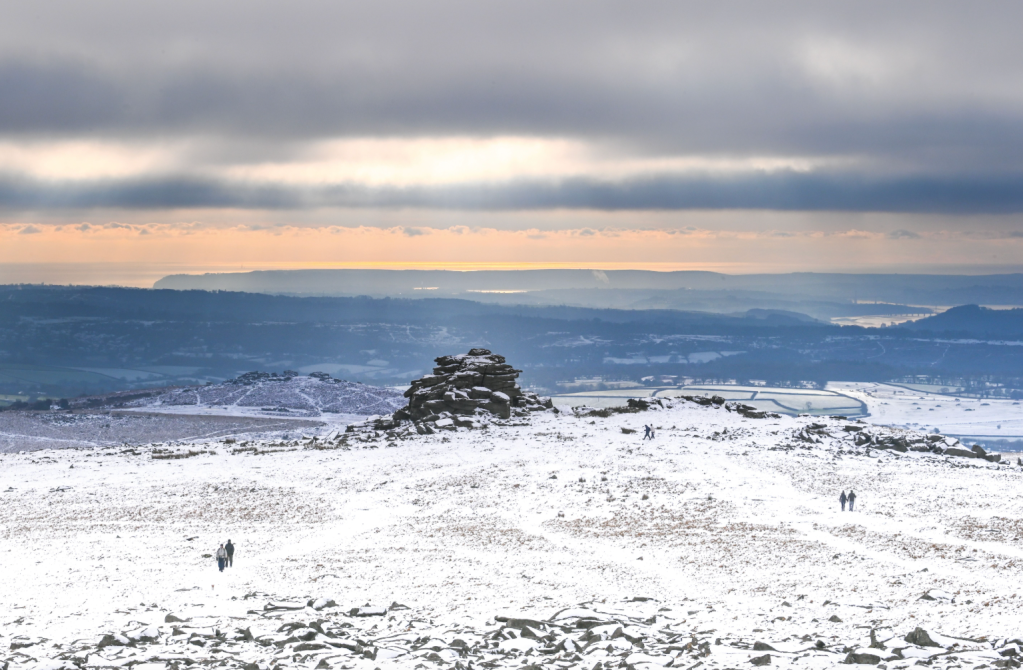
2. SX 531 762: From Cox Tor, drop north-east, heading towards Wedlake, to find a gate that leads to a clear footpath through its fields. On the other side of the enclosed ground, a gate leads out onto the open moor again. Cross Cally Brook (usually an easy jump just upstream) before climbing, a little east of north, through the low remains of prehistoric enclosures and hut circles. Once on the other side of a medieval track, head uphill beside an old boundary bank to reach White Tor itself. Here, you will need to find a route through the broad tumbled remains of two collapsed stone ramparts, before heading into the tor itself and a rare enclosure of suspected Neolithic date (so more than 4,000 years old). Parts of this hilltop enclosure were dug in the 1880s. Inside, you will find what’s left of prehistoric hut circles, cairns and a few modern wind shelters. If you feel like exploring more of the hill, there are eleven other Scheduled Monuments on its slopes. This area is also a favourite haunt of a herd of ponies with strong Shetland origins.
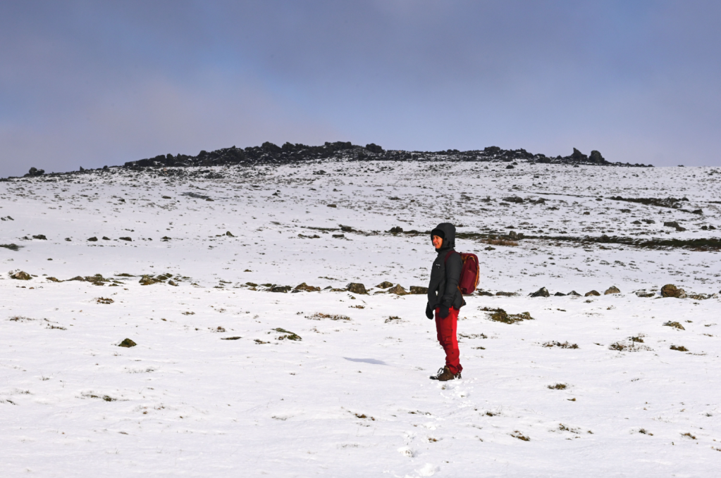
Below White Tor. Credit: Tim Gent
3. SX 542 787: Our next destination, a standing stone, is clearly visible, approximately 750m to the east of White Tor. This ‘menhir’ dates to the late Neolithic or Early Bronze Age. A stone row, built at around the same time, extends to the north. From here, the stone circle on Langstone Moor is also easy to spot, situated at the crest of the ridge to the south-east. Follow a reasonably clear path/quad bike track to skirt around the northern side of marshy ground to reach the circle. The route will still be wet in places.
Lunch at Roos Tor. Credit: Tim Gent
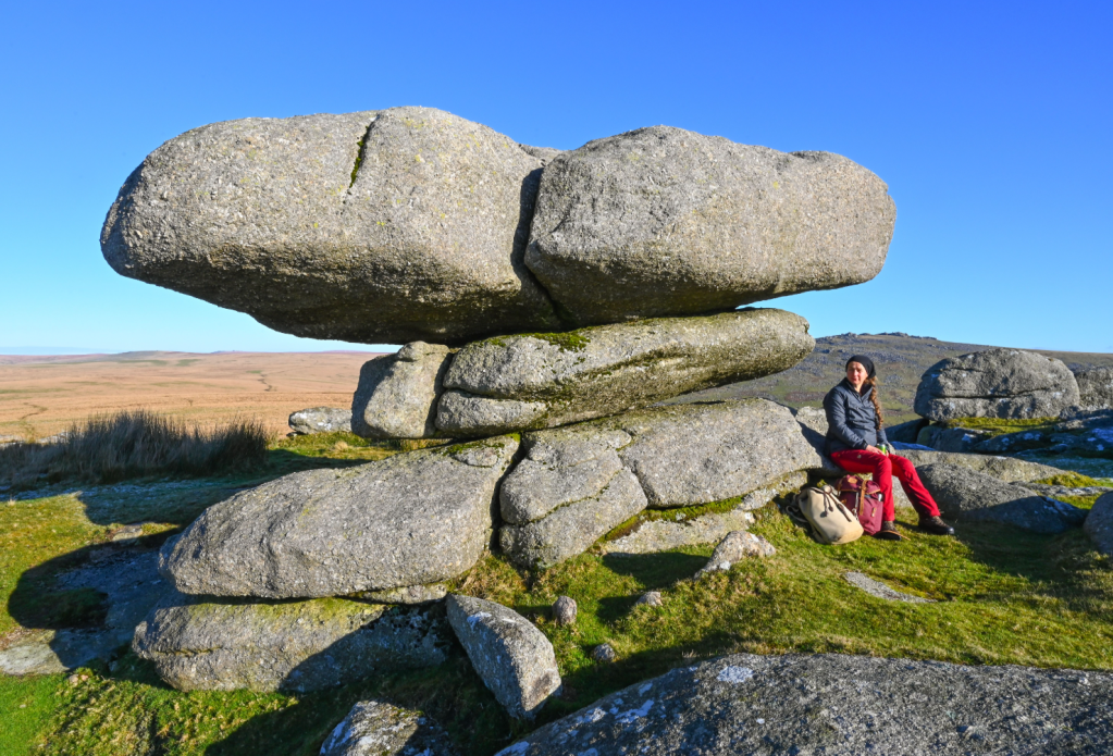
4. SX 556 782: From the stone circle, follow a clear path that heads south-west across fairly level ground to Roos Tor, before dropping south through stony ground to cross a slight saddle to reach Great Staple Tor. Walk through the tor between two high upstands of granite (both worth exploring), at which point. Middle Staple Tor is clear on the slope below, just to the west of south.
4a Looking south towards Middle Staple Tor, with the sea beyond. Credit: Tim Gent
5. SX 540 756: As you reach Middle Staple Tor, drop south-west on one of the many paths that return to the car park. There will probably be more ponies.
Further information
PUBLIC TRANSPORT: Oakleys Coaches bus 98 (01752 729866)
TOURIST INFORMATION: National Park Visitor Centre, Princetown (01822 890414)
NEAREST YHA: YHA Okehampton
Discover more walks in Dartmoor as mapped by The Great Outdoors’ expert contributors.